The town of Sedona is nestled along the Mogollon Rim at the southern end of the Colorado Plateau in Northern Arizona. It’s famous red rock cliffs and formations make it a popular spot to escape the Phoenix desert heat. My family visits frequently and over the years we have checked out many of the hikes and still find the views breathtaking.

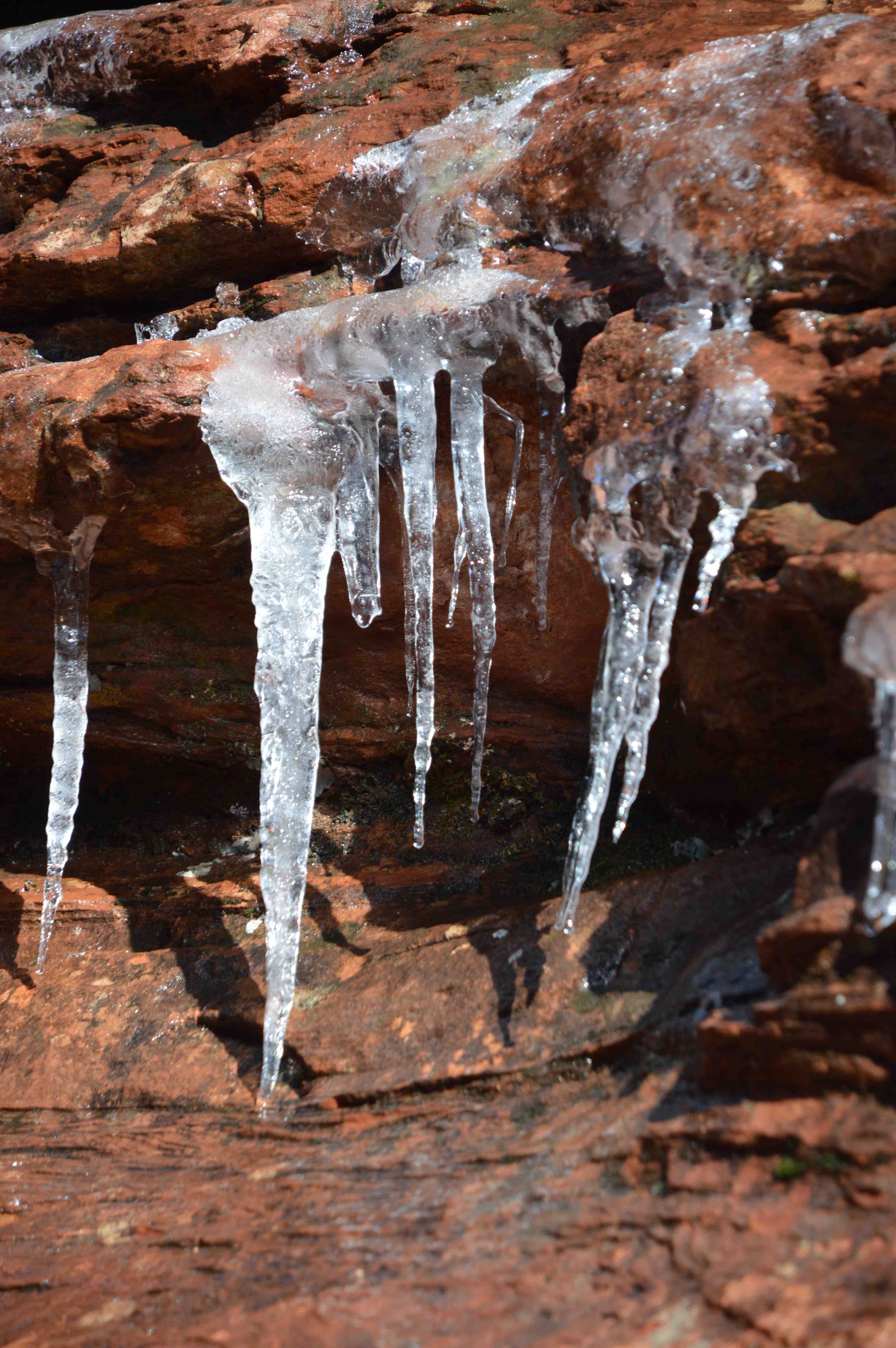
Our last visit in January was welcomed by a light snow, most of which quickly melted in the morning sun. The shadows stayed cool enough to hold onto the snow and on a short hike to Doe Mountain we found icicles along the path.
From that path, we looked up at a ridge in the distance and noticed the trail for it zigzagging up the face of an opposing mesa. On the way home, we checked out the trailhead. Bear Mountain. We love challenging hikes, so decided to give this one a try the next day. It is a 2000 foot climb in elevation, the trails are not necessarily well-marked, and takes 4.5 to 5 hours round trip. I think we did it in 4…but the weather was cool and we were in shape. Even so, I wish we had taken more water (we took two bottles each and several energy bars). In hotter weather, a lot more water would be necessary and it could be brutal with no shade. Warning to those wishing to take this hike. Go prepared. This is the Sedona hike with the most rescues (and deaths).

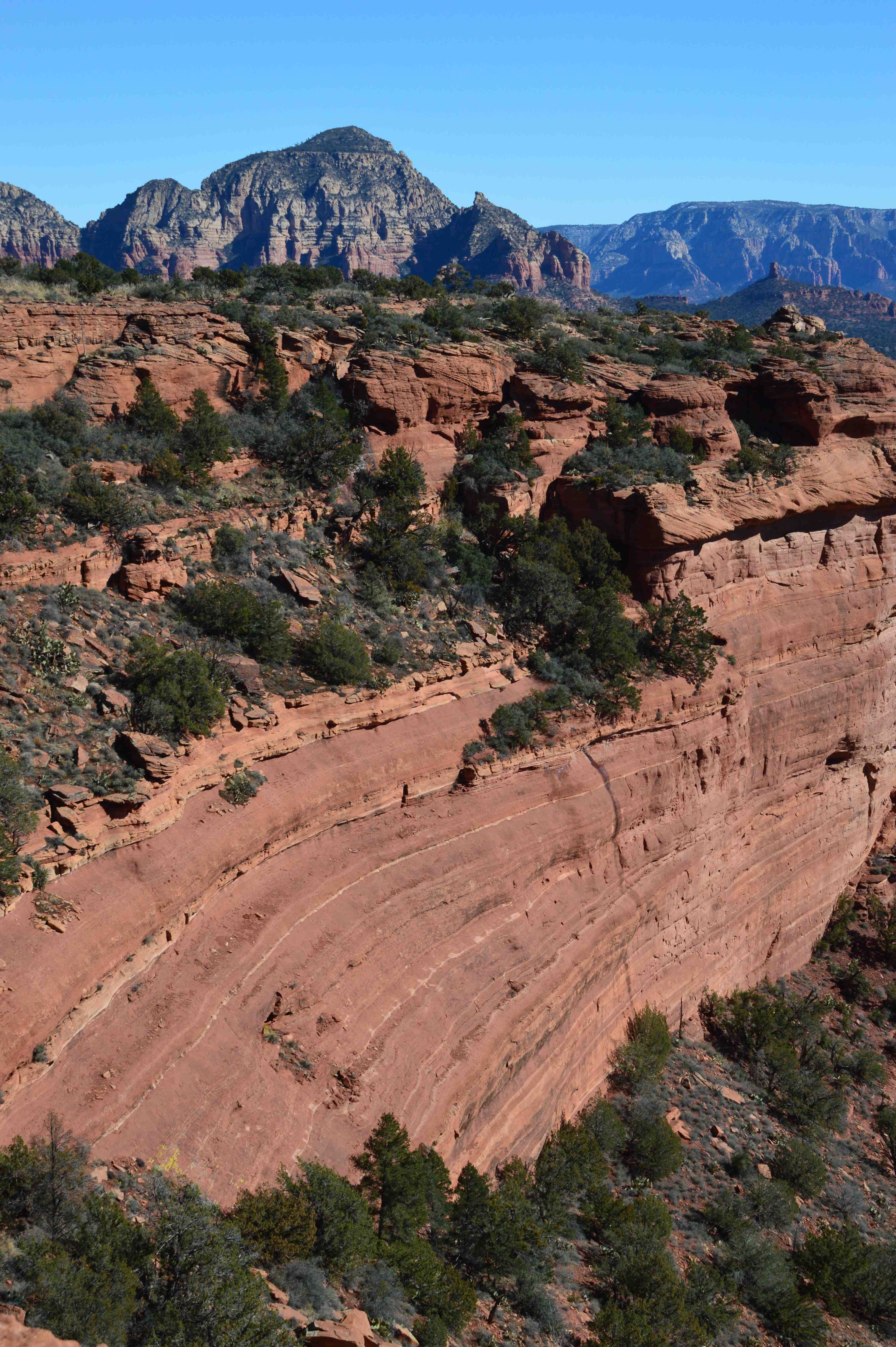
The photo below is from the top of the first mesa in front of Bear Mountain. The views along this trail are spectacular, but at times deceiving. Bear Mountain is infamous for its false summits. That means a hiker will see a peak that looks like the top. By the time it is reached, a new summit becomes visible. For some people, this is the fun, unexpected part of a good hike, for others, it can be discouraging. Did I say, I enjoyed this hike?
If you’re interested in more detailed descriptions and topo maps of this hike, check out this site. It has a great photo at the bottom of the page that shows the various levels and false peaks. Speaking of false peaks, after reaching the one before Bear Mountain, I took a photo off the back side of the trail.

There is no doubt when you reach the top of Bear Mountain. The snow-covered Spanish Peaks on the Colorado Plateau were visible. A beautiful sight.

Leave a Reply